
Légende
- à développer nécessite un développement côté Sedoo
- formatage modification/standardisation des fichiers
- accès données pas de lien, lien invalide, dossier vide
- nbr de fiches
ODATIS
| CTOH | Couverture temporelle | Couverture spatiale | Paramètres | Visualisation |
|---|---|---|---|---|
| FES2014 altimetric corrections | 1992 – 2020 |  Océan | Empty folder | |
| Inertial Currents | 1999 – 2006 | Océan | Mixed-layer energy Inertial current amplitude |  -fichier mal formaté -manque attributs globaux |
| Southern Ocean Polar Fronts | 1993 – 2018 | Océan | no link | |
| Sea-Ice Thickness North Hemisphere [Envisat] [CryoSat-2] [3] | 1999 – 2006 |  Glace de mer | Sea ice FB Sea ice Thickness Snow depth and densities Ice densities Multi year ice | -compression NetCDF 96% |
| Sea-Ice Thickness South Hemisphere from Altimetry (2003-2020) | 2003-2020 |  Glace de mer | Sea-Ice density Sea-Ice thickness | 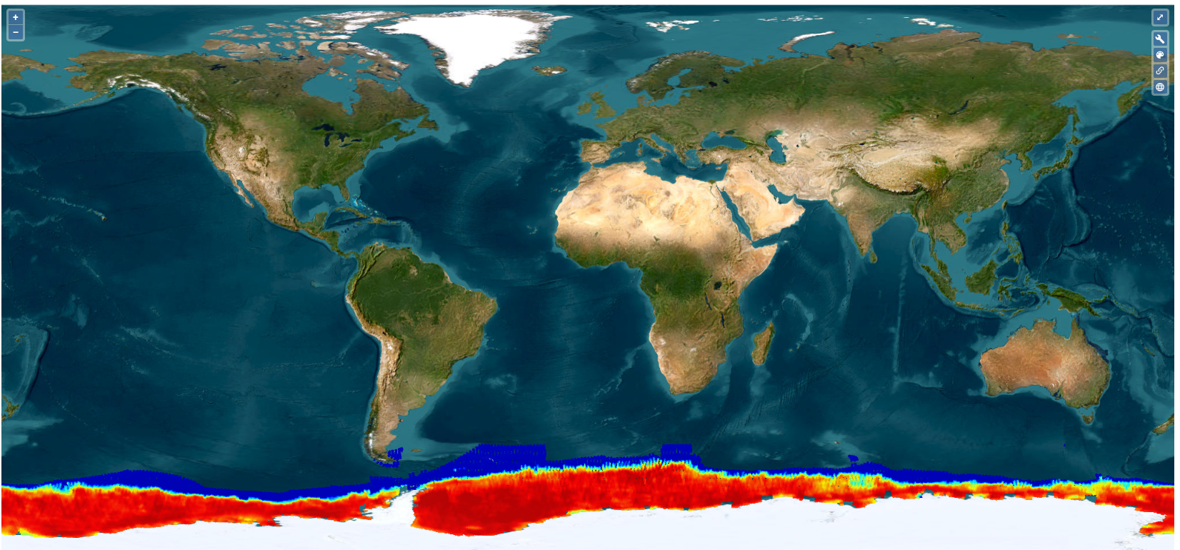 -manque attributs longitude (units, standard_name) -variable time pas de temps dupliqués -compression NetCDF 90% |
| Arctic and Antarctic sea ice thickness climate data record (ERS-1, ERS-2, Envisat, CryoSat-2) | 1994-2023 |  Glace de mer | Sea Ice thickness | 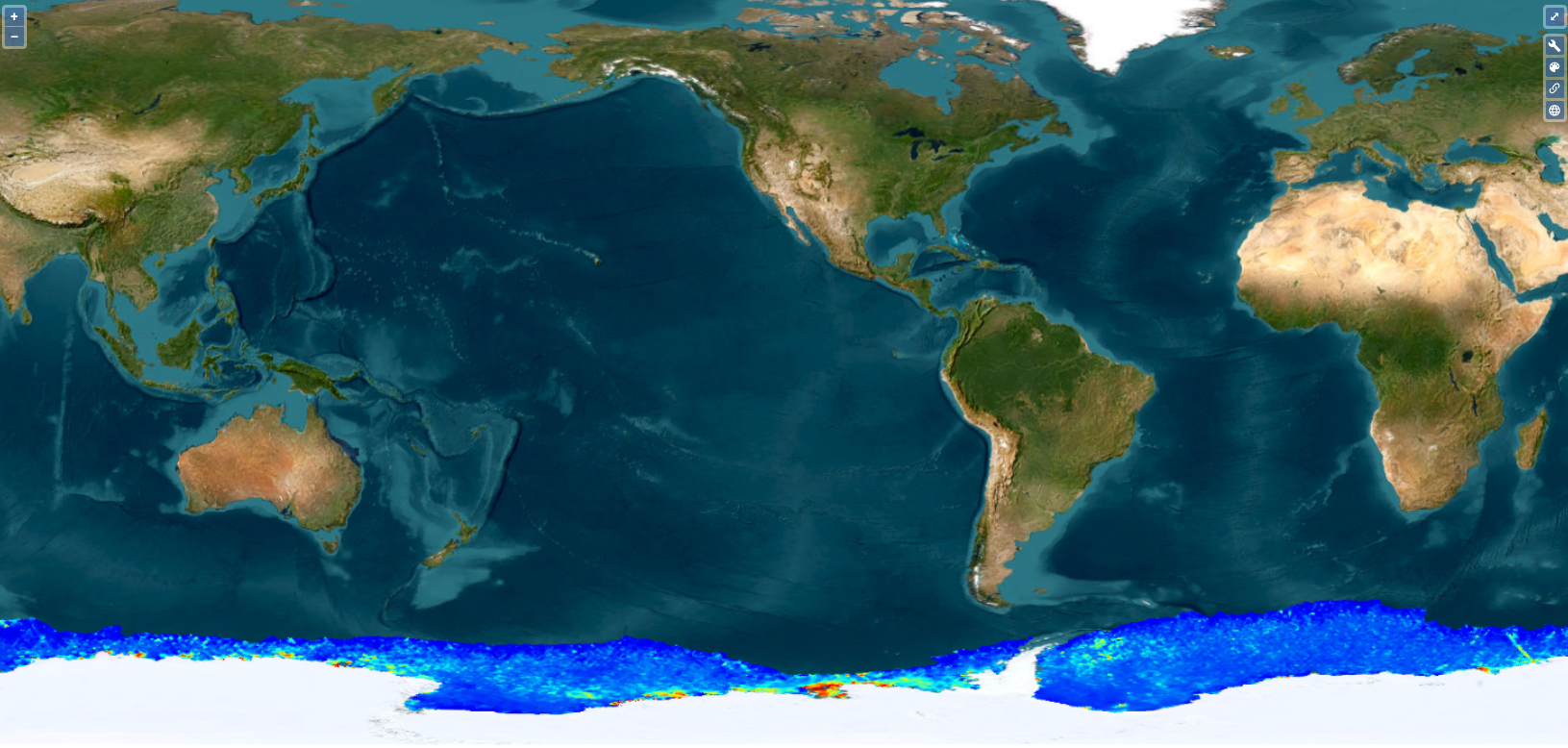 -flag_values à corriger -compression NetCDF 90% |
| X-TRACK, Along track Sea Level Anomalies/Tidal Constants (2015/2017/2018_01/02) [5] | 1993 – 2016 |  Zones côtières | no link ou site introuvable |
THEIA
| CTOH | Couverture temporelle | Couverture spatiale | Paramètres | Accès | Visualisation |
|---|---|---|---|---|---|
| AlTiS products | 1992-2023 | | Request Form | ||
| AlTiS-NG Software | | Direct | 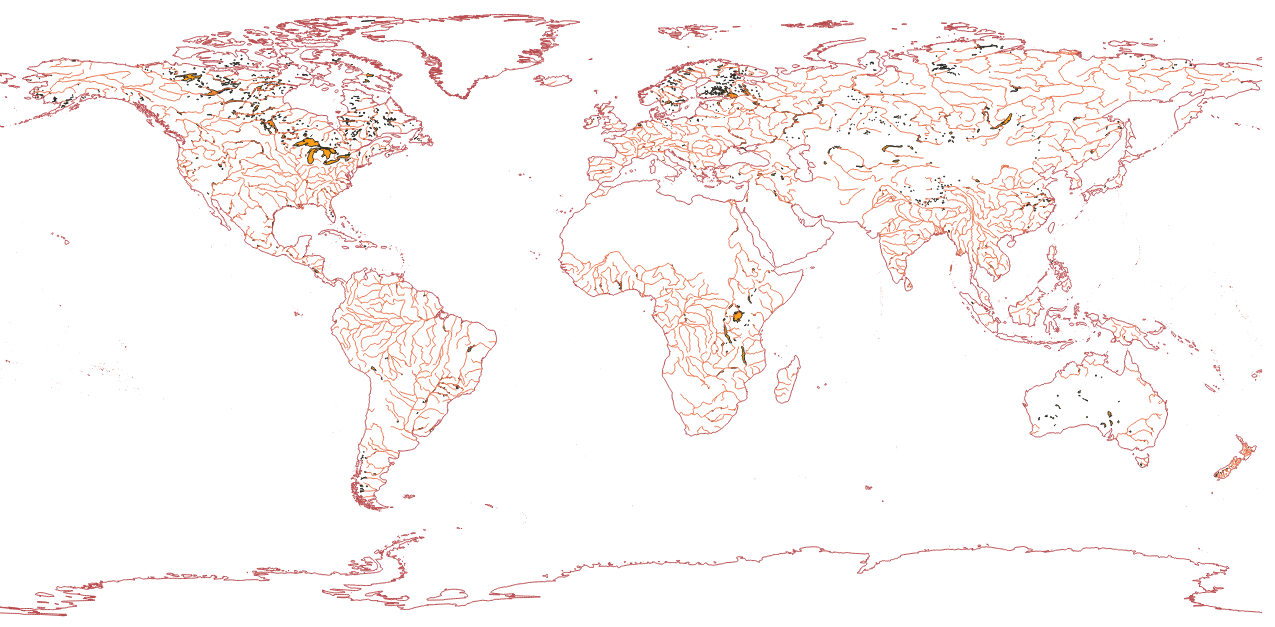 Shapefiles | ||
| Altimetric Backscattering Altimetric Normalised Pass | 1993-2018 1993-> | | Request Form | ||
| Altimetric data of the ERS-2 mission Altimetric data of the TOPEX mission | 1995-2003 1992-2002 | | Request Form | ||
| Altimetric data of the Cryosat-2 mission | 1992-2002 | | no Access | ||
| Altimetric normalized pass | 1993–> | | Request Form | ||
| Hydrological surface monitoring and river discharge using multi-sensor satellite observations in the McKenzie Delta | 2000-2015 | 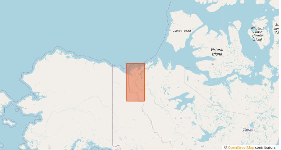 | Water level Flood maps | Direct | -NetCDF à standardiser -projection à la volée |
| Hydrological surface monitoring in the Inner Niger Delta | 1995-2017 | 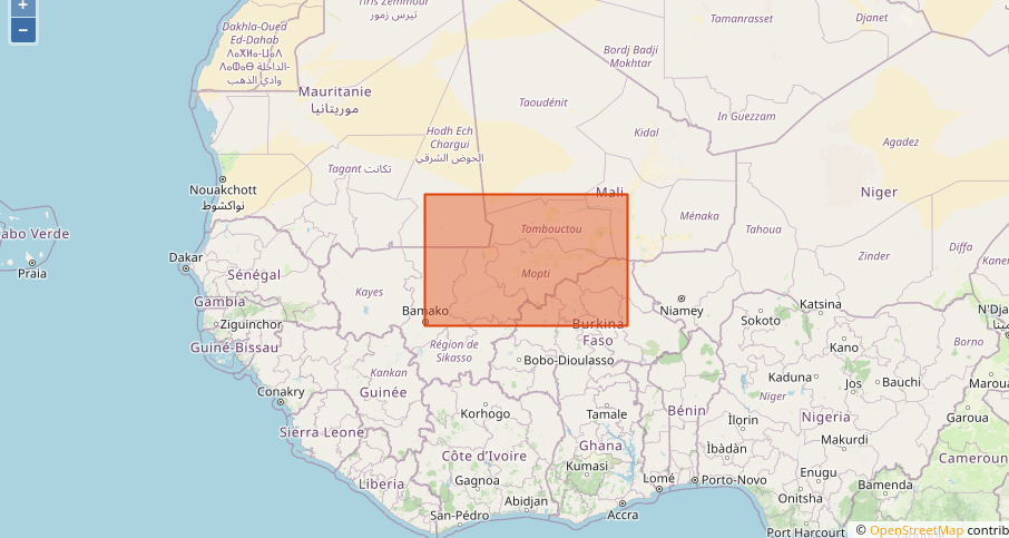 | Water level discharge | no Access | |
| Water level monitoring in the Ogooué river basin | 1995-2017 | 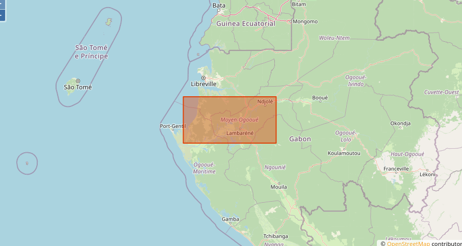 | Water level and discharge | no Access |