- en cours / à faire
- formatage / standardisation fichiers
- accès
- nombre de fiches
AERIS
| Projets | Couverture Spatiale | Couverture temporelle | Paramètres | Visualisation |
|---|---|---|---|---|
| RADARS-MF | ||||
| METEO-FRANCE, RADAR COMEPHORE Hourly Precipitation Amount Composite | 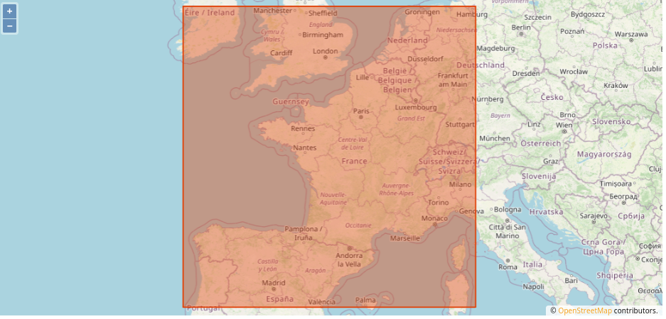 | 1993 -> ⏺ | précipitation | 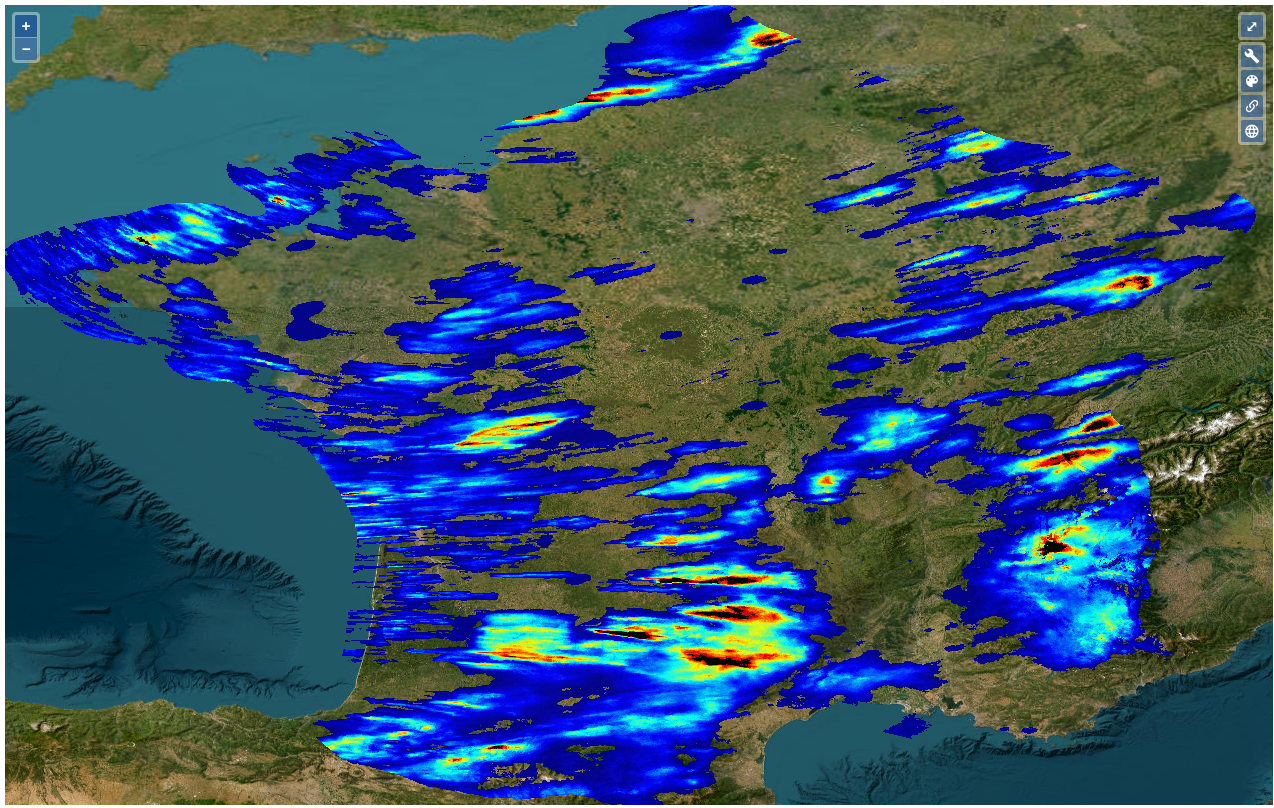 -Concaténation mensuelle |
| METEO-FRANCE, RADAR 5min Precipitation Amount Composite. | 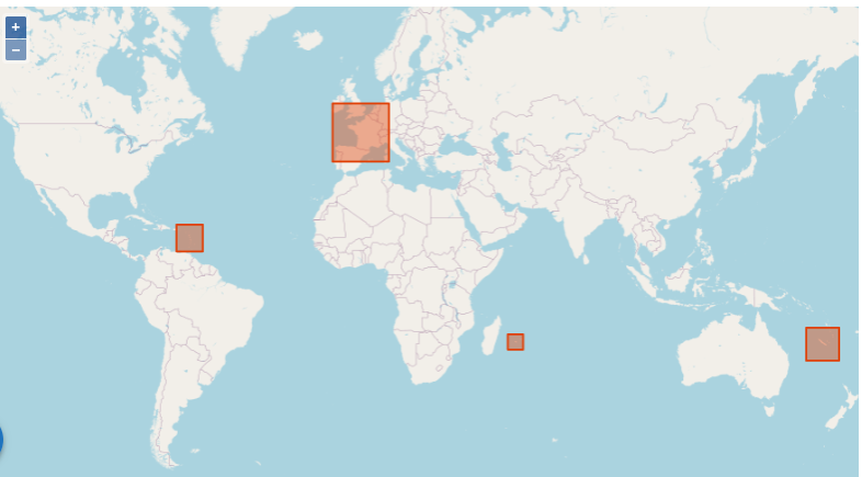 4 zones | 2006 -> ⏺ | précipitation | 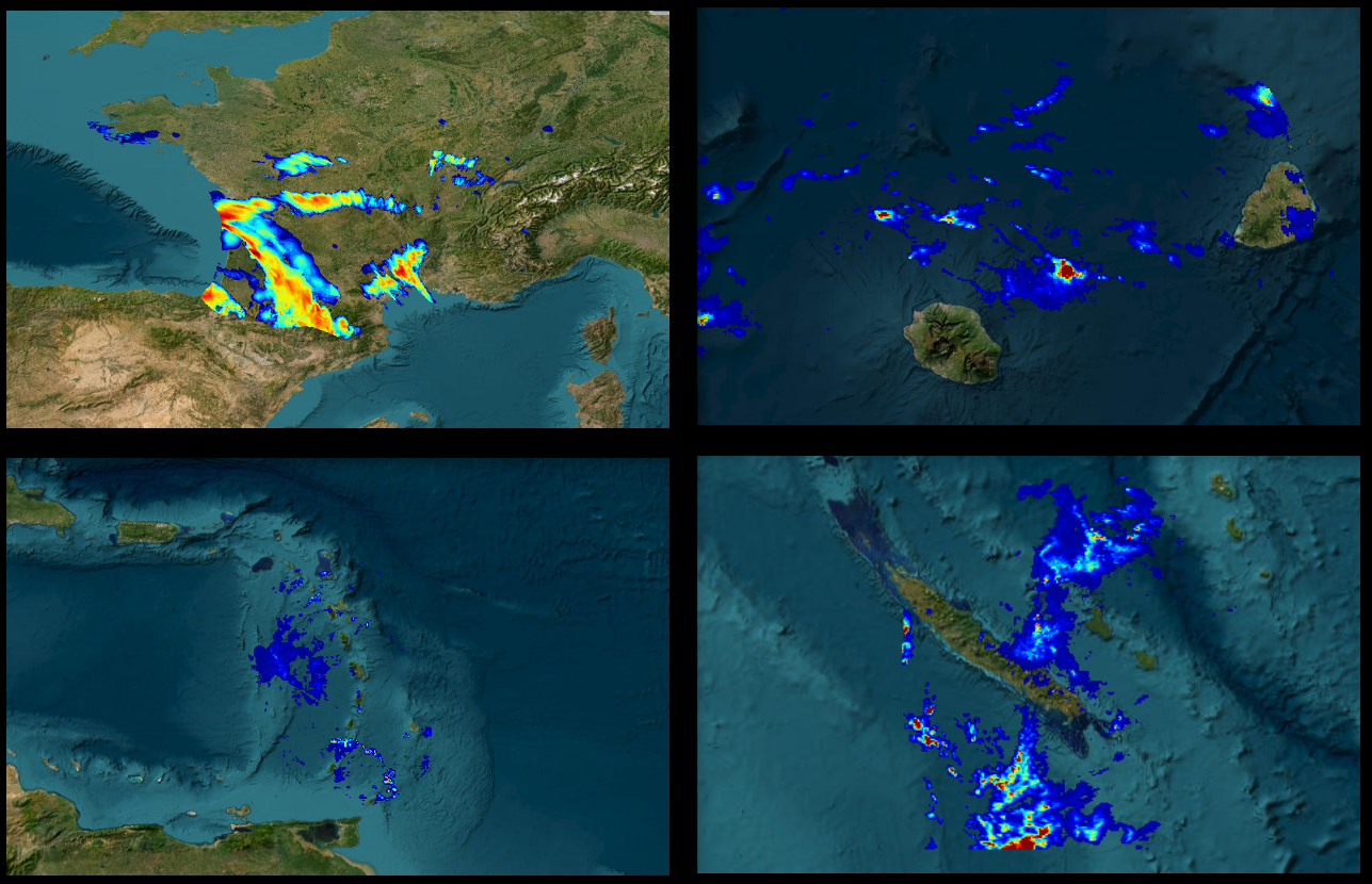 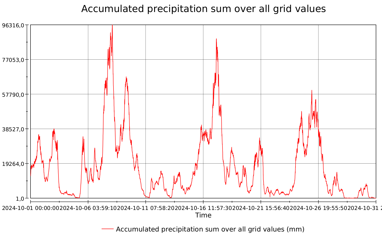 -Concaténation mensuelle Visualisation TimeSeries |
| IASI-SOFRID IASI SOFRID CO/O3 [Monthly means][4] | 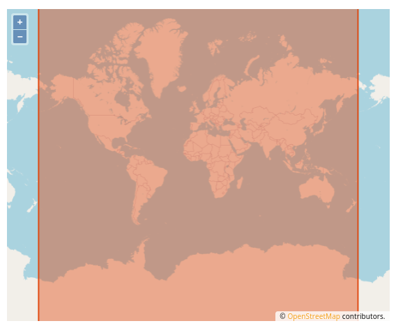 | 2015-2020 | CO, H2O, N2O total/trop. column …. …. + 33 others | 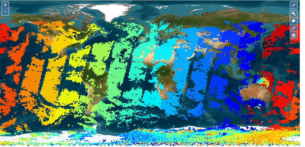 Concaténation Compression 50% |
| MISTRALS Surface Fluxes for the NW Med | 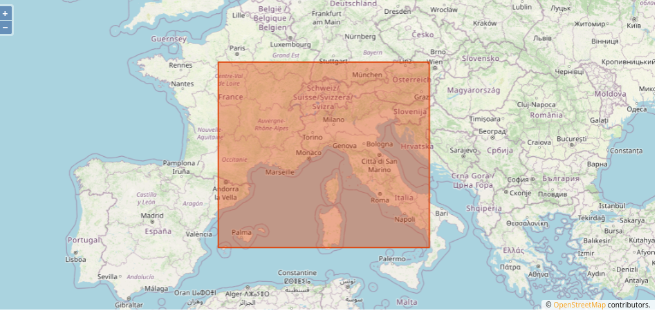 | 2012-2013 | Evap. Precip. Wind Heat Radiation… (10) | 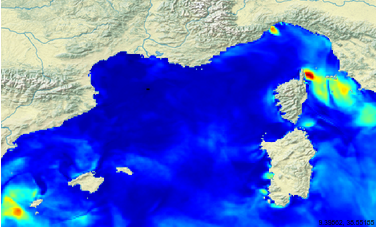 Compression 65% A faire |
| HAMSTRAD H2O Antartica Microwave Stratospheric and Tropospheric Radiometers | 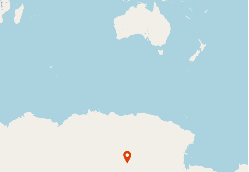 | 2009 -> ⏺ | Temperature Humidity Water vapor Water path | 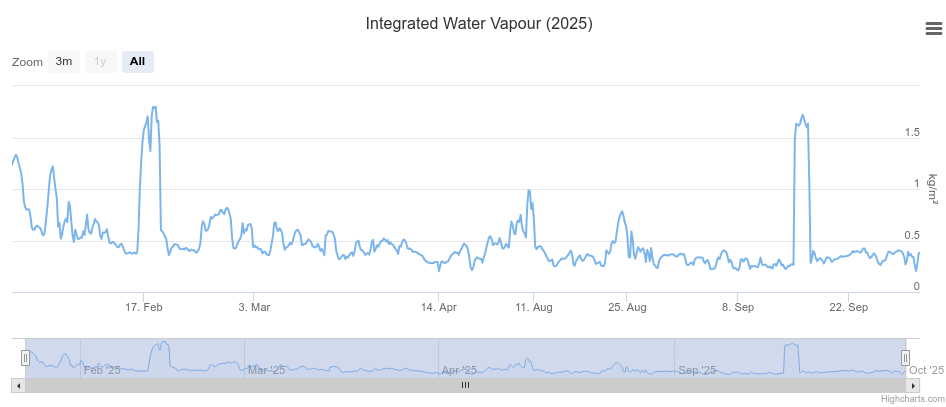 ASCII->NetCDF Compression 96% |
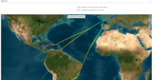
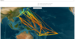
| EUBURN [8] SILEX-2025_SAFIRE-ATR42_SAFIRE | | 2025 | Liquid water content Thermodynamic Ozone Chemistry Radiation Aerosol | 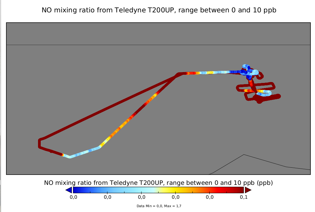 Visualisation Geotrajectory |
| INDAAF [85] Wind direction | 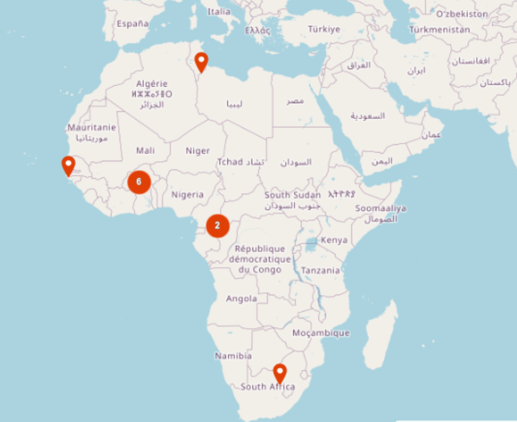 11 sites | 1998-2024 | Air temperature Precipitation Wind speed & direction PM2.5, PM10 Traces gases Wet & total deposition | 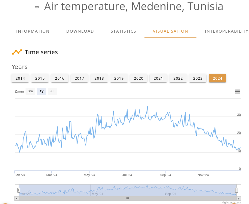 1 NetCDF -> plusieurs fiches double- float+compression50% |
ODATIS
| SSS | Couverture temporelle | Paramètres | Visualisation |
|---|---|---|---|
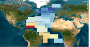
| A gridded sea surface salinity data set for the Atlantic Ocean | 1970-1976 | Sea Surface Salinity | 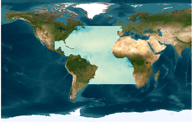 |
| A gridded sea surface salinity data set for the Pacific Ocean | 1950-2009 | Sea Surface Salinity | 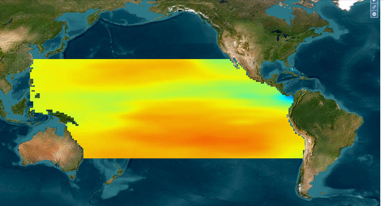 |
| Annually binned Sea Surface Salinity, Temperature and Density in the North Atlantic subpolar gyre (40°N-70°N) | 1995-2018 | Sea Surface Density Salinity Temperature | 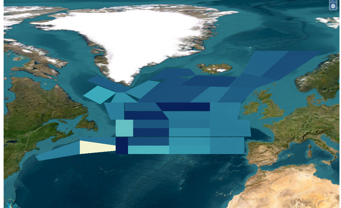 |
| Monthly binned sea surface salinity, temperature, and density in the North Atlantic subpolar gyre | 1993-2018 | Sea Surface Density Salinity Temperature | 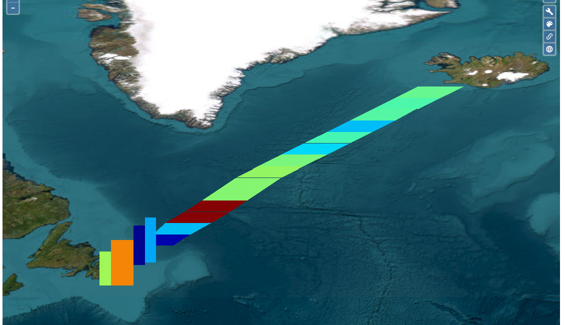 |
| Bin-averaged SSS in the Atlantic Ocean | 1895-2016 | Sea Surface Salinity | 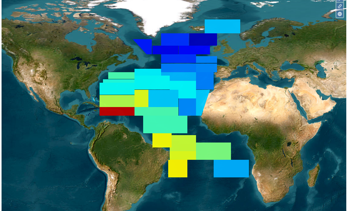 |
| Historical Sea Surface Salinity data in the Southern Ocean | 1993-2002 | Sea Surface Salinity Sea Surface Temperature | 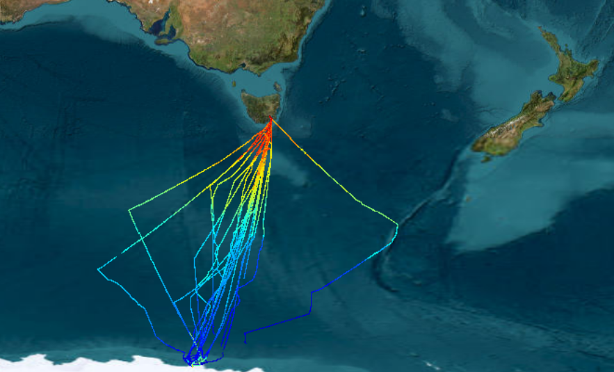 |
| Historical Sea Surface Salinity data in the Tropical Oceans | fichier vide | ||
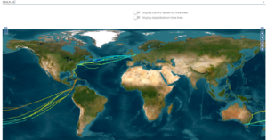
| Sea Surface Salinity data from Voluntary Observing Ships Network | 1993 – ⏺ | Sea Surface Salinity Sea Surface Temperature | 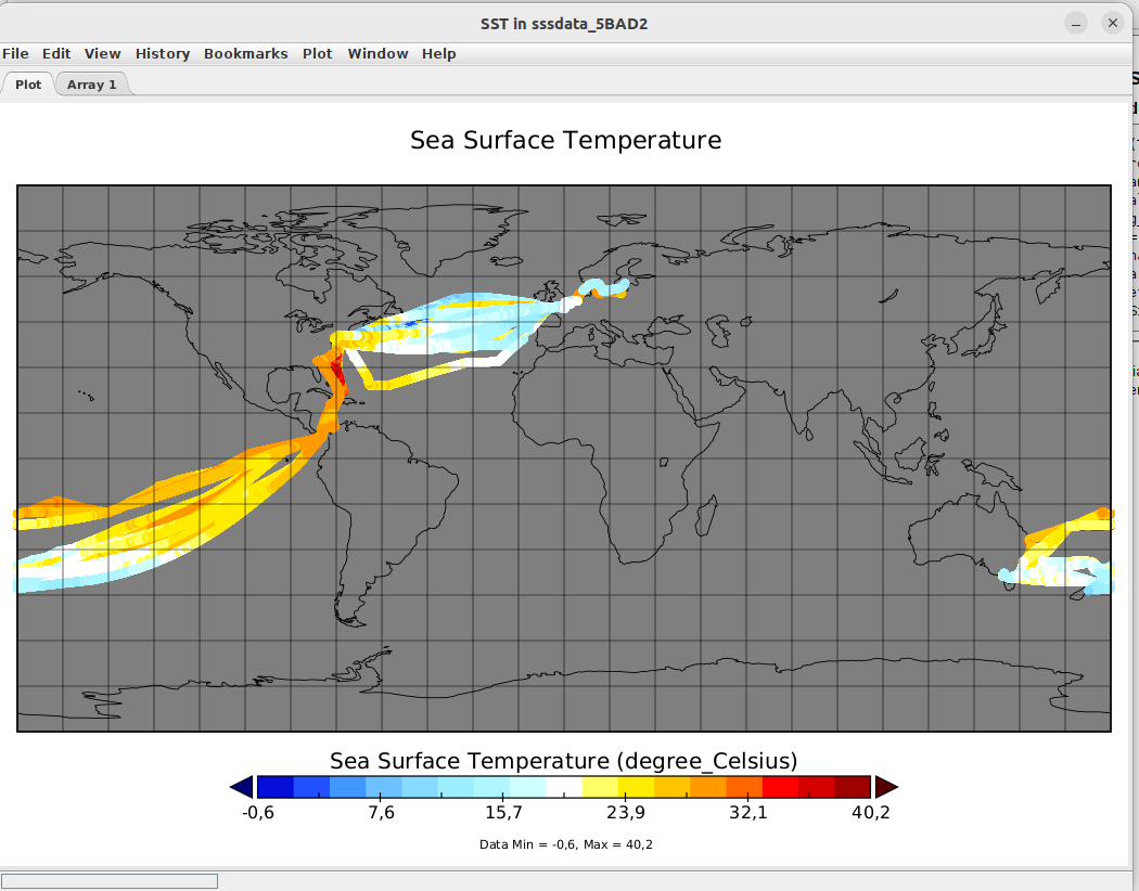 A mettre en place |
| TSG-QC: A tool for interactive quality control of sea surface temperature and salinity |
| CTOH | Couverture temporelle | Couverture spatiale | Paramètres | Visualisation |
|---|---|---|---|---|
| FES2014 altimetric corrections |  Océan | no link | ||
| Inertial Currents | 1999 – 2006 | Océan | Mixed-layer energy Inertial current amplitude | 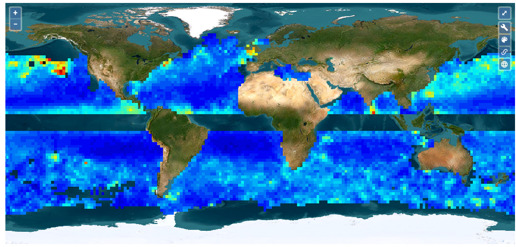 –fichier mal formaté -manque attributs globaux |
| Southern Ocean Polar Fronts | 1993 – 2018 | Océan | no link | |
| Sea-Ice Thickness North Hemisphere [Envisat] [CryoSat-2] [3] | 1999 – 2006 | 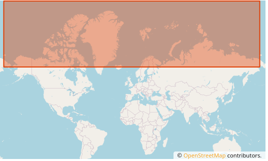 Glace de mer | Sea ice FB Sea ice Thickness Snow depth and densities Ice densities Multi year ice |  -standardisation -compression 96% regrouper fiches |
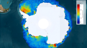
| Sea-Ice Thickness South Hemisphere from Altimetry (2003-2020) | 2003-2020 | 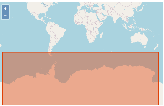 Glace de mer | Sea-Ice density Sea-Ice thickness | 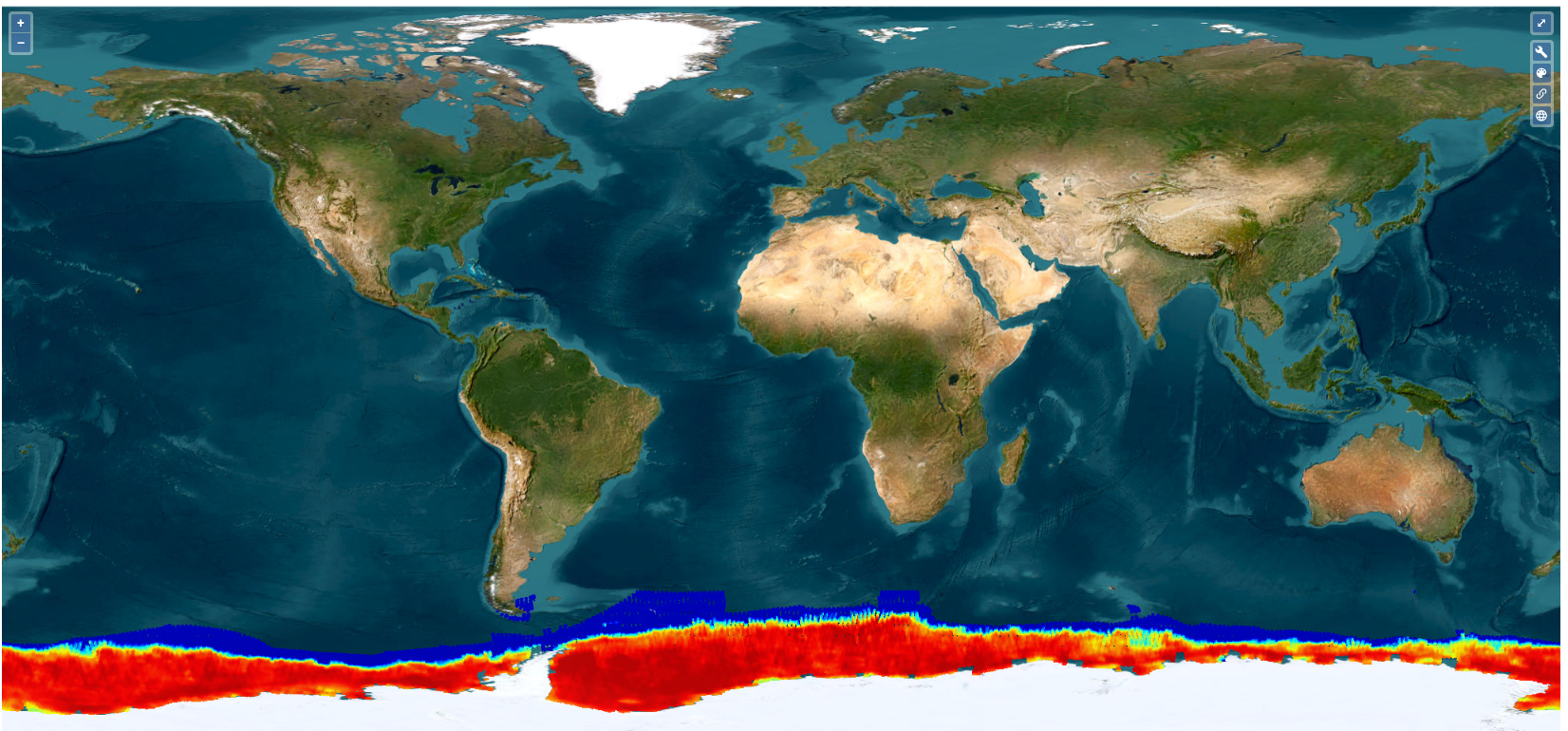 -attributs manquants -time dupliqué -compression NetCDF 90% |
| Arctic and Antarctic sea ice thickness climate data record (ERS-1, ERS-2, Envisat, CryoSat-2) | 1994-2023 | 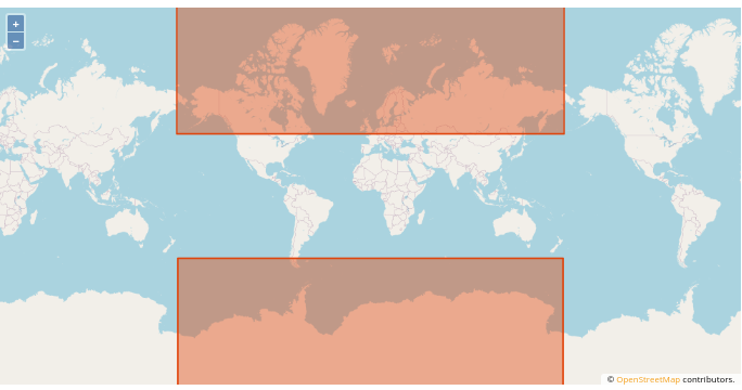 Glace de mer | Sea Ice thickness | 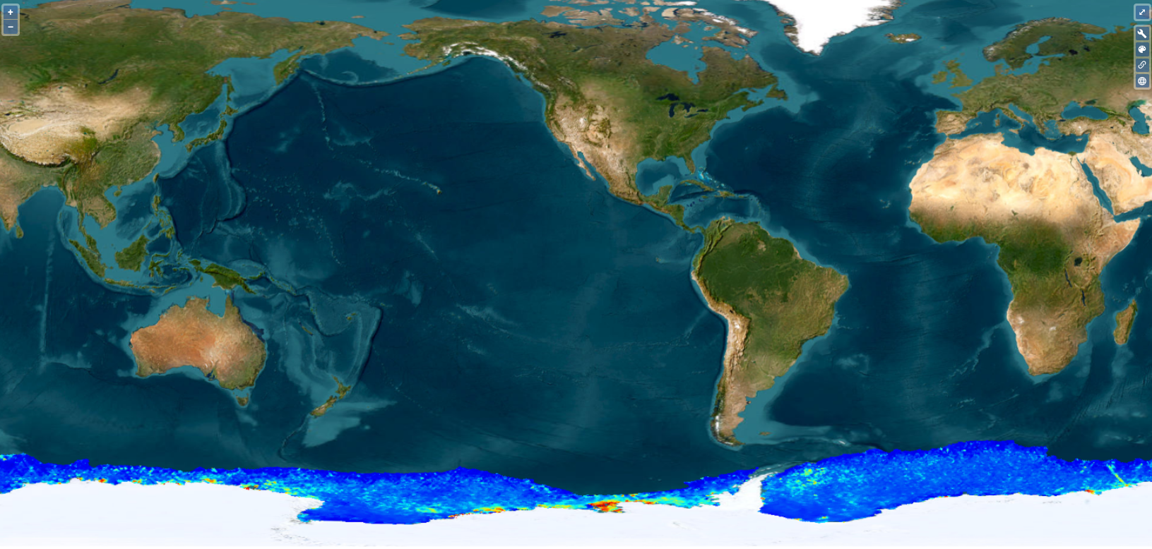 -flag_values type incorrect -compression NetCDF 90% |
| X-TRACK, Along track Sea Level Anomalies/Tidal Constants (2015/2017/2018_01/02) [5] | 1993 – 2016 | 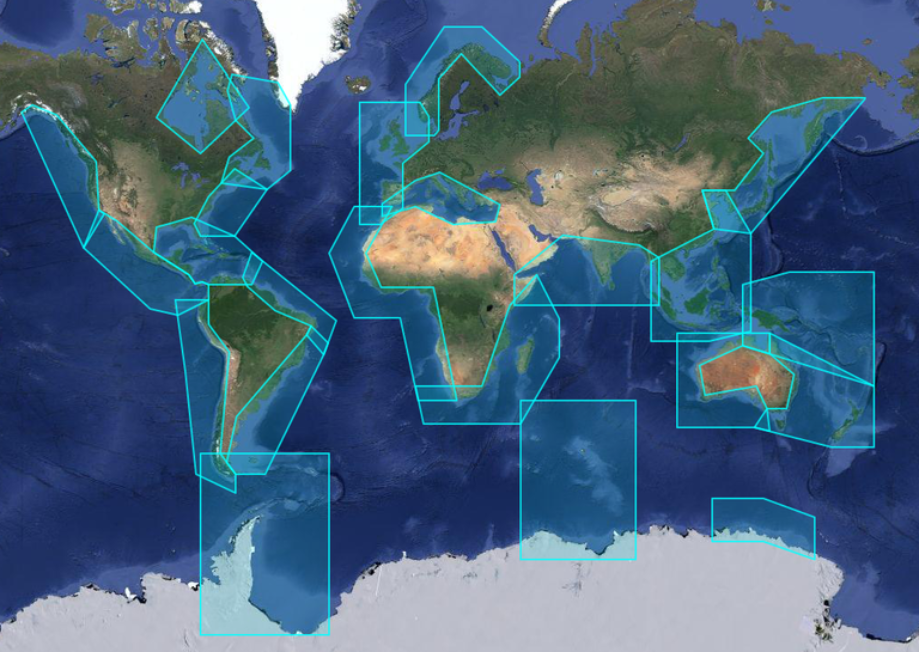 Zones côtières | no link ou site introuvable |
| Autres projets | Couverture temporelle | Couverture spatiale | Paramètres | Visualisation |
|---|---|---|---|---|
| SOCOA Suivi photographique de la Falaise de Socoa – 2010-07-13 / 2018-03-15 [20] | 2010-2018 |  | photos littoral | 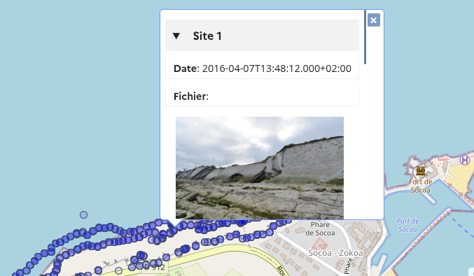 fiches à regrouper |
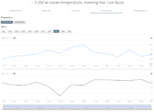
| MOOSE 0-250 m ocean temperature, mooring line, Azur / Lion Buoy [2] | 2012-2023 | 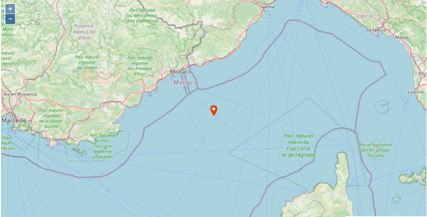 | température | 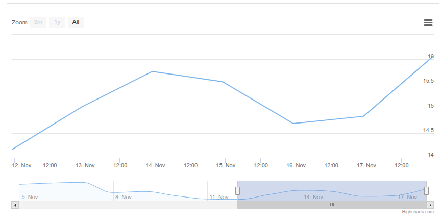 conversion ASCII -> NetCDF |
| SIROCCO FES2014 tidal atlas | | No link | ugrid à mettre en place | |
| THESIS Clustering and inundation maps based on CYGNSS reflectivity | 2018-2019 | 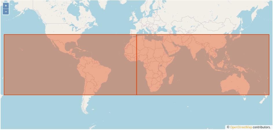 | reflectivity | 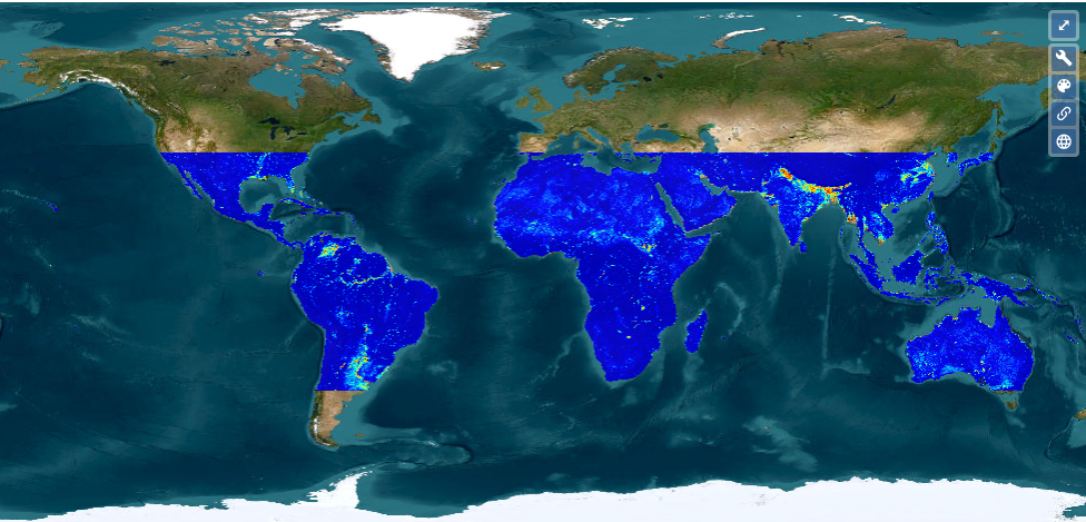 Compression 90% |
| ZEBRE Mean vertical sections of zonal currents in the Tropical Pacific | 1998-2015 | 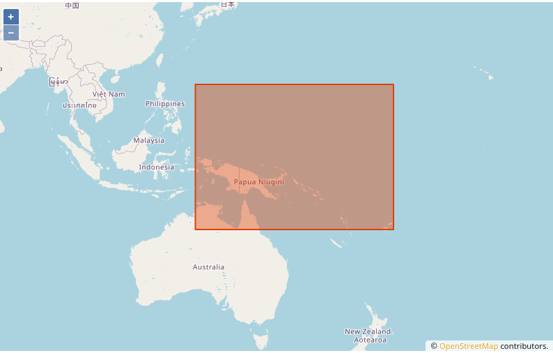 | zonal velocity | 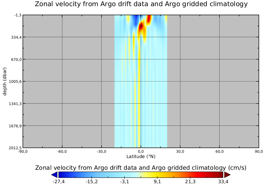 à mettre en place compléter metadata |
| SURVOSTRAL Vertical sections of in-situ temperature over 25 years in the Southern Ocean | 1992-2017 | 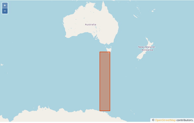 | sea surface temperature sea surface salinity | 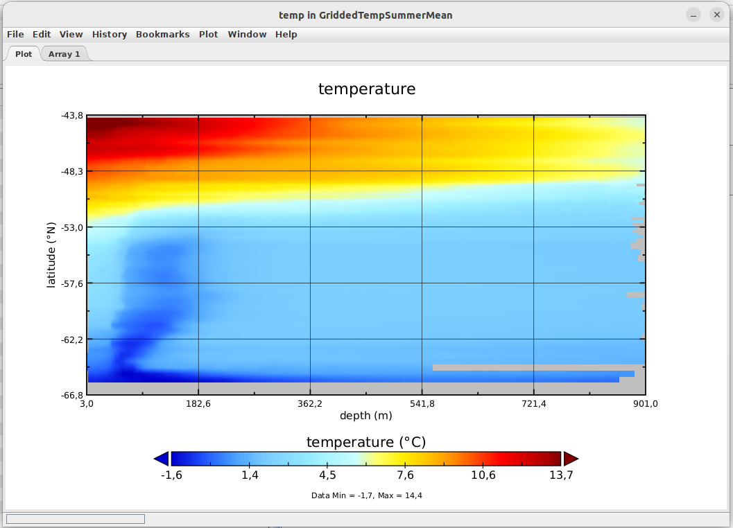 à mettre en place compléter metadata |
THEIA
| CTOH | Couverture temporelle | Couverture spatiale | Paramètres | Visualisation |
|---|---|---|---|---|
| AlTiS products | 1992-2023 | | Request Form | |
| AlTiS-NG Software | | 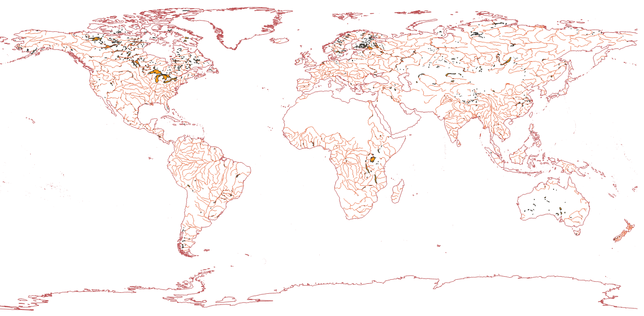 Shapefiles | ||
| Altimetric Backscattering Altimetric Normalised Pass | 1993-2018 1993-> | | Request Form | |
| Altimetric data of the ERS-2 mission Altimetric data of the TOPEX mission | 1995-2003 1992-2002 | | Request Form | |
| Altimetric data of the Cryosat-2 mission | 1992-2002 | | no Access | |
| Altimetric normalized pass | 1993 -> ⏺ | | Request Form | |
| Hydrological surface monitoring and river discharge using multi-sensor satellite observations in the McKenzie Delta | 2000-2015 | 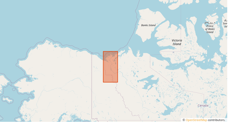 | Water level Flood maps | -NetCDF à standardiser |
| Hydrological surface monitoring in the Inner Niger Delta | 1995-2017 | 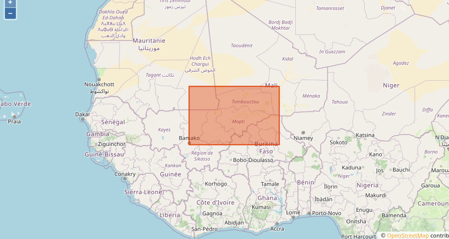 | Water level discharge | Withdrawn marquer la fiche |
| Water level monitoring in the Ogooué river basin | 1995-2017 | 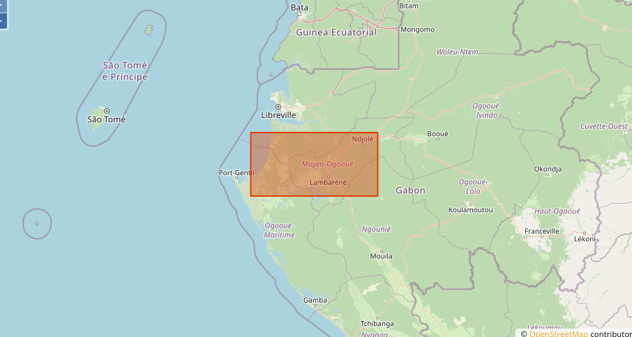 | Water level and discharge | Withdrawn marquer la fiche |
| Autres projets | Couverture temporelle | Couverture spatiale | Paramètres | Visualisation |
|---|---|---|---|---|
| SCOMAG24 SCOMAG InSitu Measurements CESBIO V1 2024 | June 2025 | 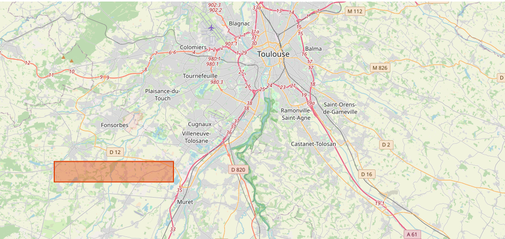 | Soil surface moisture | pas encore de données |
| ACLIMO ACLIMO snow products | 2015-2023 | 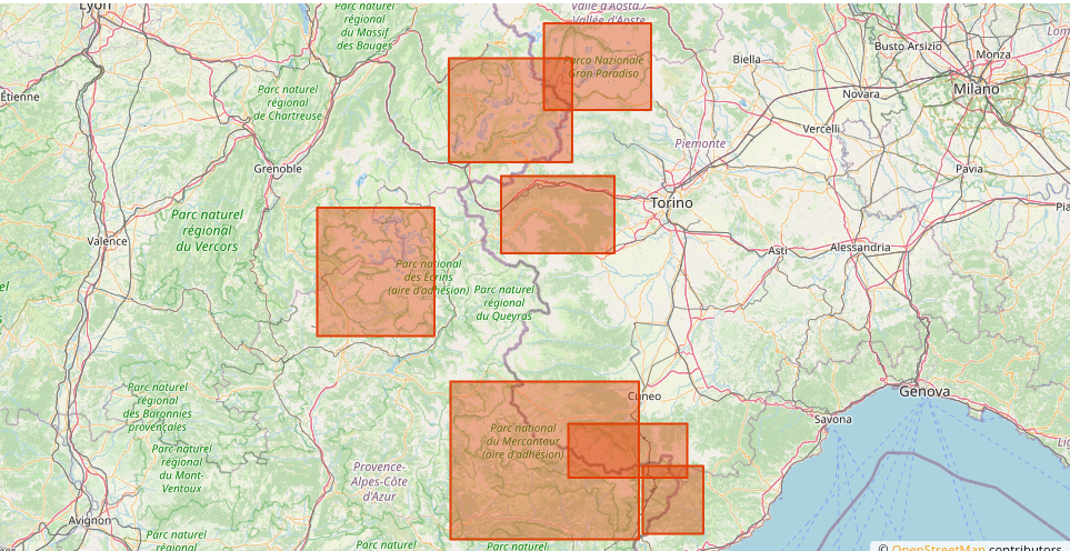 | Snow water equivalent | 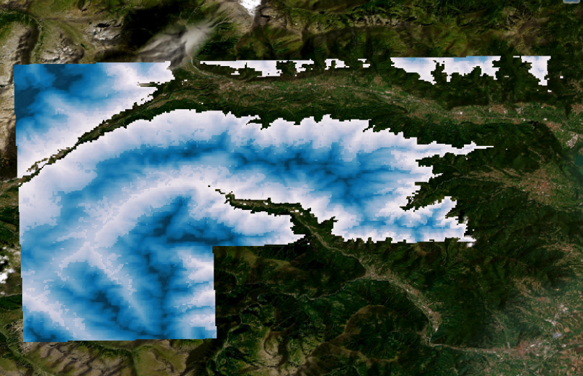 |
| PUBLICATIONS Accelerated global glacier mass loss in the early twenty-first century – Dataset. | 2000-2019 | 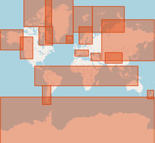 | Cumulative and rate time series of glacier elevation change, volume change and mass change. | Shapefiles CSV csv -> NetCDF |
| MTROPIC [29] | 1991-2021 | 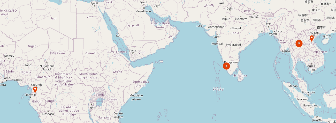 4 pays / 11 sites | 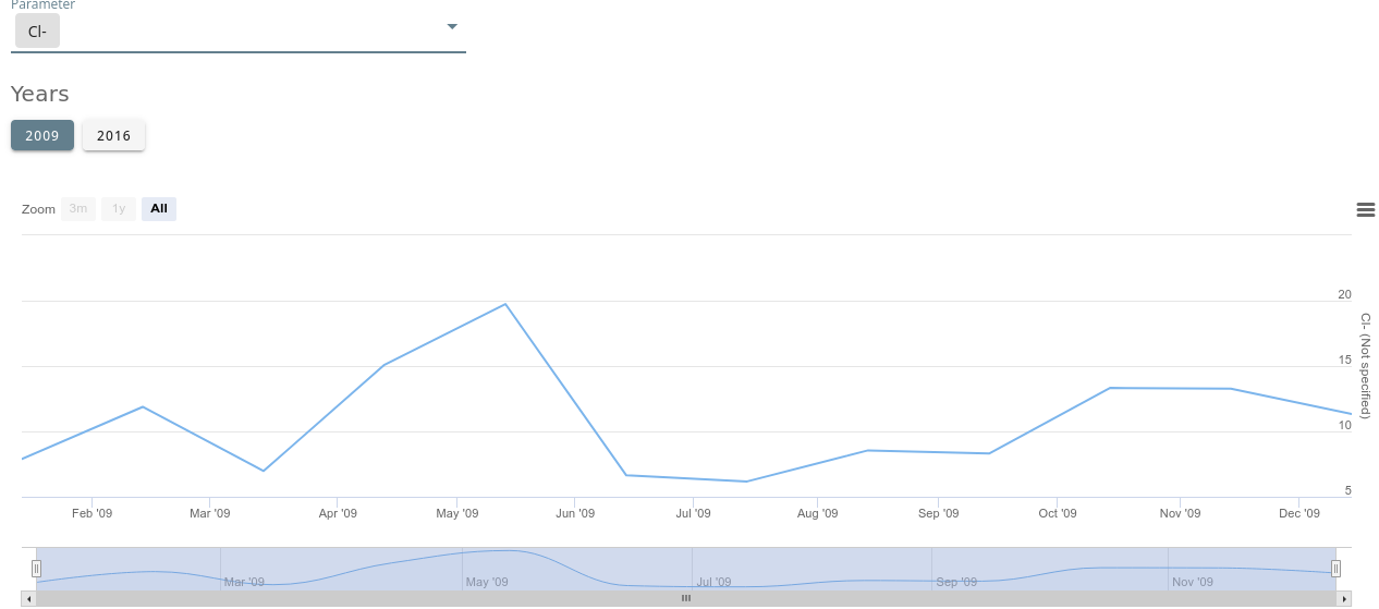 Dissocier le téléchargement fichiers Excel / fichier Nc |
ASTROPHYSIQUE
| Projets | Action |
|---|---|
| FNLTE Data for Full non-LTE (FNLTE) radiation transfer | Fiche de métadonnée + dépôt fichiers |
| STORMS OFRAM | Fiche de métadonnée + dépôt fichiers |